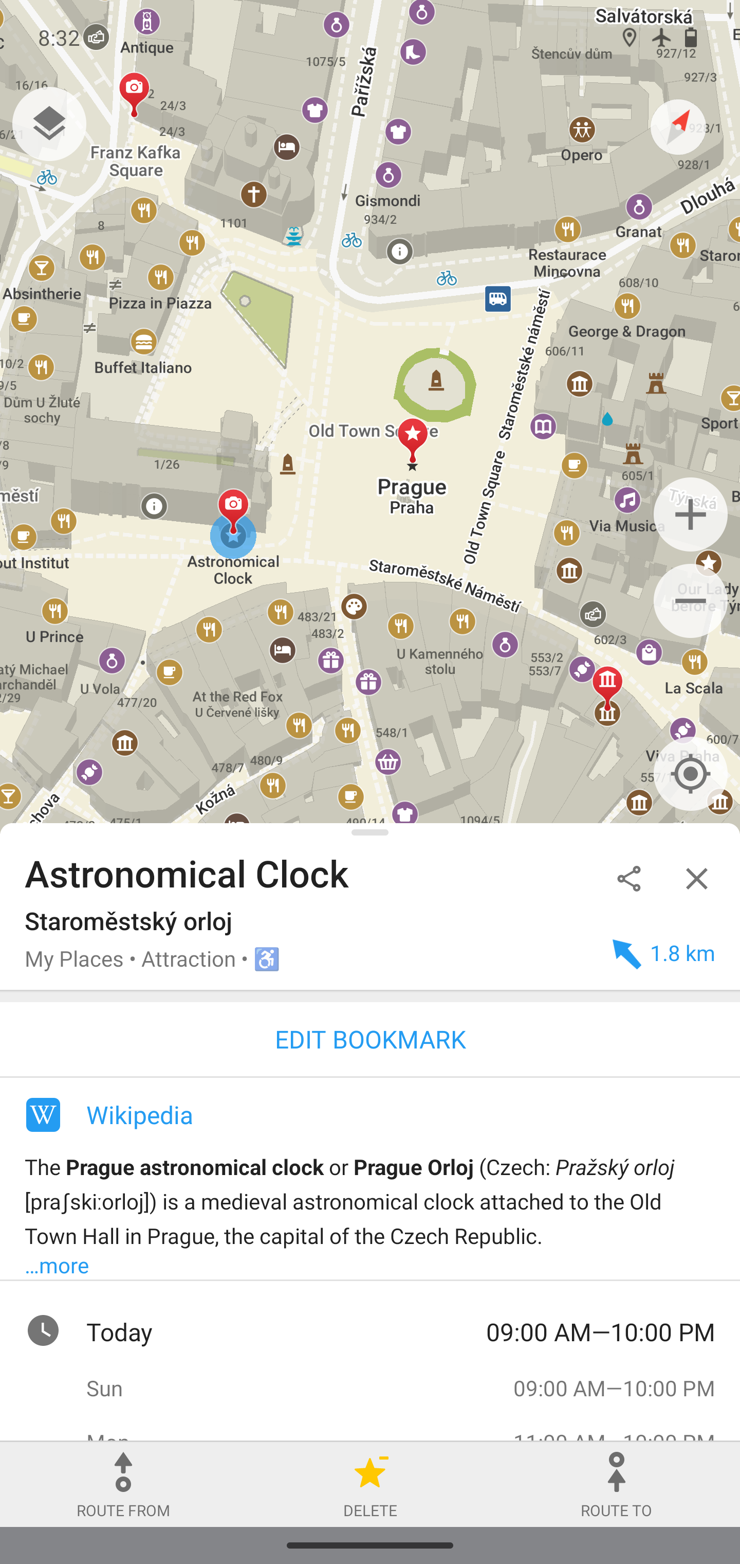
- cross-posted to:
- privacy@lemmy.ml
- cross-posted to:
- privacy@lemmy.ml
I’ve been looking for something like this! So far I had an open street map bookmark but this is way better for when I’m hiking. Other commercial maps sucks for hikes.
If only it had support for public transport. In theory it would be my favorite OSM app but I can’t really use it without support for that :(
What OSM app do you use that supports public transport?
I don’t think it’s OSM but I use Here we go. I don’t particularly like it but it has public transport support and isn’t Google Maps.
Mapy.cz is still quite decent. I live in Italy and a few friends happen to know about it and praise it.
It’s especially good for the Czech Republic, the rest is just an OSM reskin (still good though). If you stop updating at 9.55.2 (9550200), you will still get the premium feature (multi-country offline maps) for free and without downsides, AFAIK. However, they have stopped server support for old versions before and it’s pretty much impossible to unofficially import the map data without root.
Organic maps is probably my favourite osm app for general use. I still have OsmAnd for various purposes, and I use Magic Earth when driving for the included traffic calculations. I hope that Organic Maps can generate some traffic data in the future. Though, I imagine for it to work well, some sort of open sharing of traffic data would need to happen to avoid fragmentation between apps.
This comment should be deleted soon


